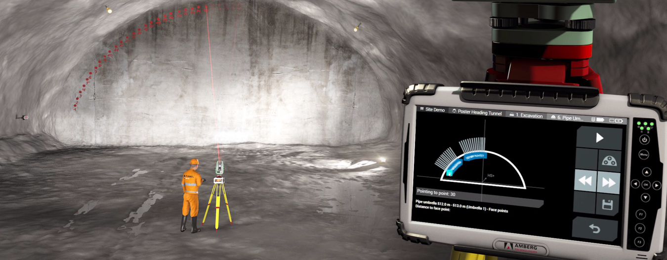
Amberg Navigator is a field solution for tunnel surveying. If you are in need for efficient, cost-effective surveying solution without placing precision and safety at risk, then you found it.

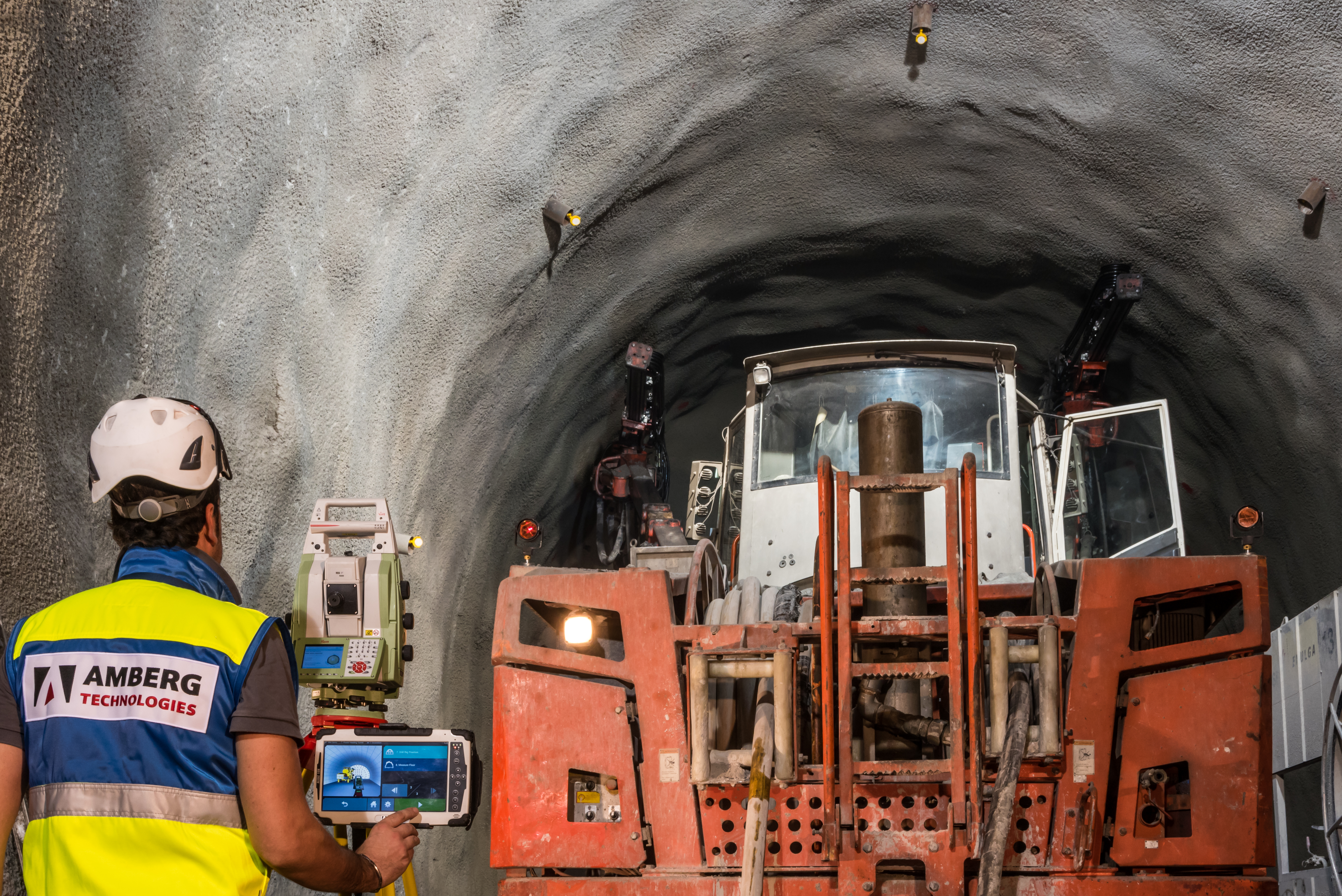
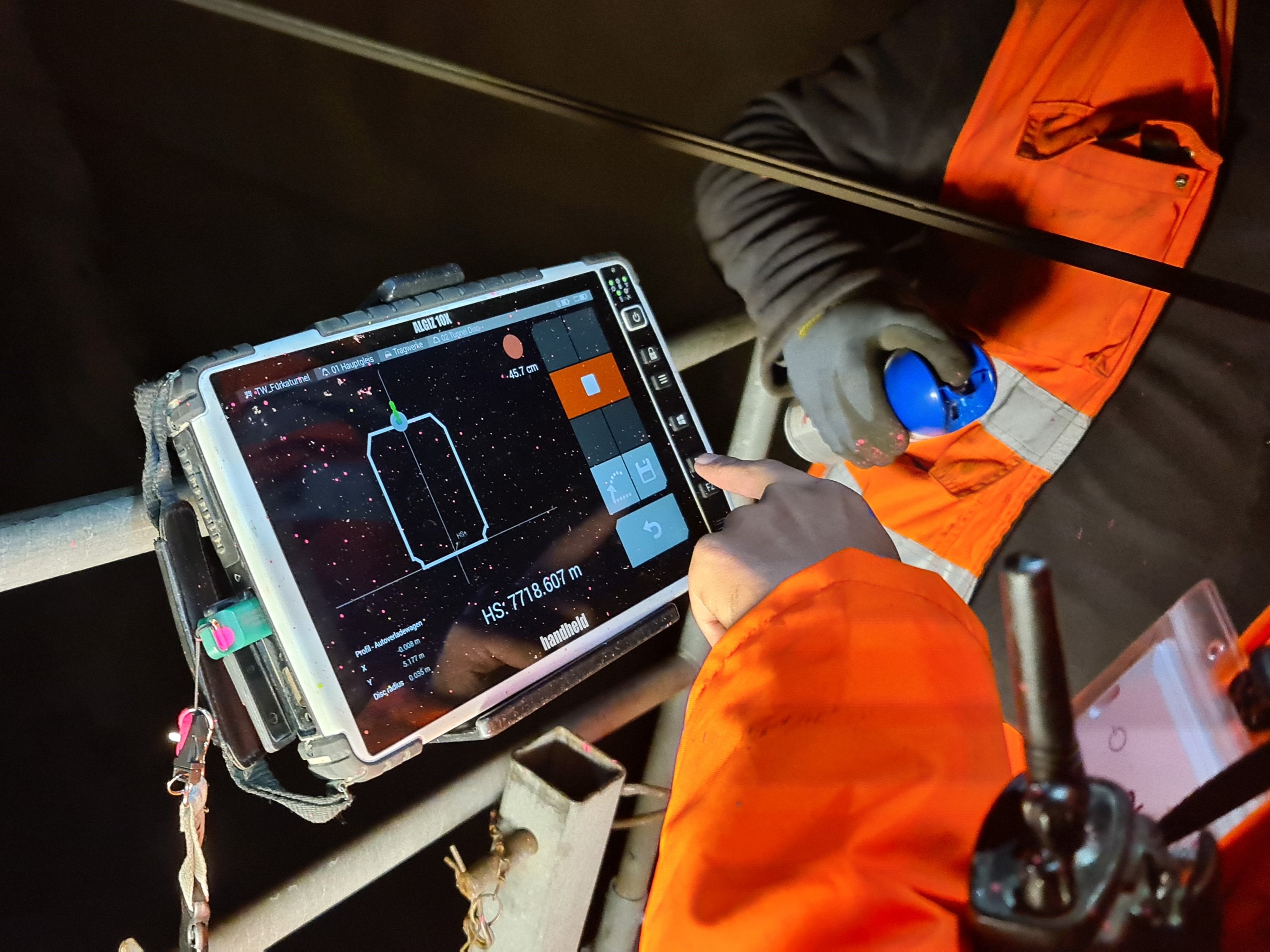
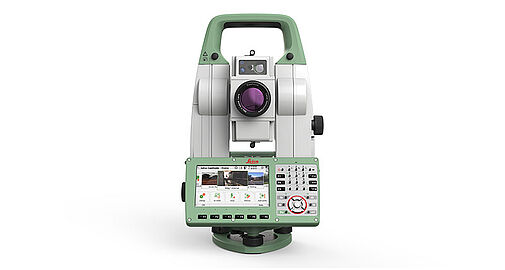
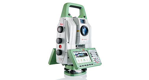
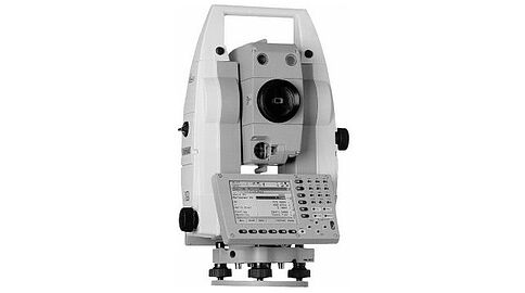
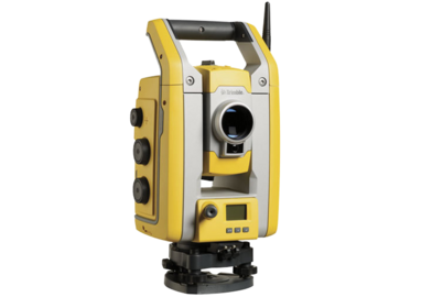
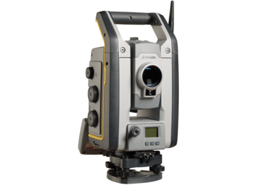
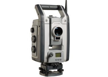
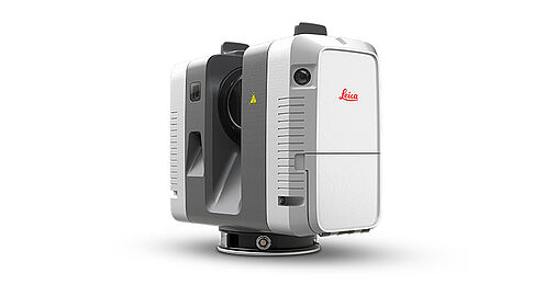
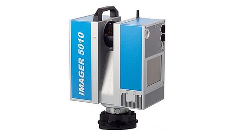
Amberg Navigator software installs on a ruggedized tablet. The tablet then connects wirelessly to a total station or laser scanner or both. Surveyor exports tunnel design and a list of required tasks from the office software Amberg Tunnel. Data exchange can be done via a cloud or with a USB stick.

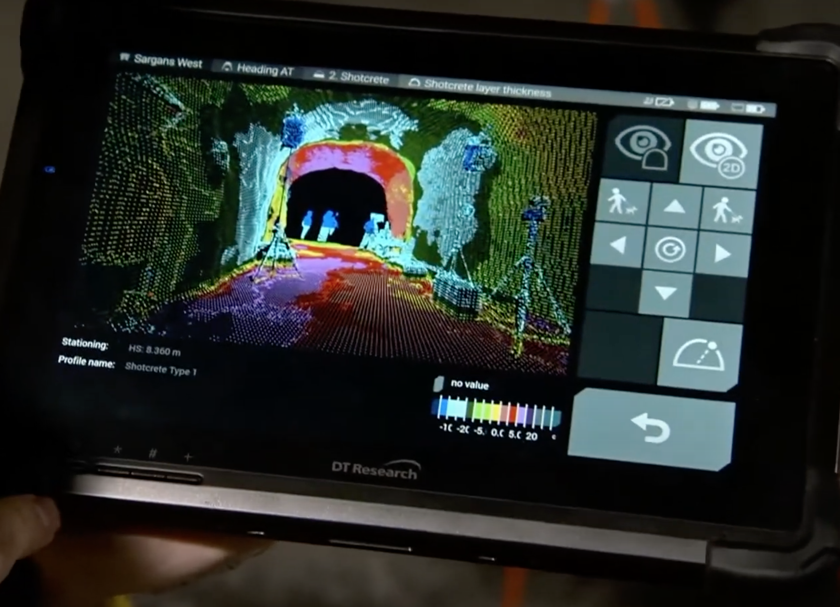
Tunnel crew then takes over the tablet with preloaded data and follows self-explanatory workflows to complete all requested tunnel surveying tasks. With Amberg Navigator, it doesn’t require previous surveying knowledge to complete basic tasks like heading guidance, excavation control and convergence measurement.

All measured data is stored in a structured way. User can then send measured data back to the office via cloud or using USB stick.

Tunnel Construction Control live from the Hagerbach NXT 50 Festival

--

Interested in Amberg Tunnel solution?

Philippe Matter is happy to talk to you. Get in touch! Or download the software with a demo license and get hands on!


Send me an email

Downloads

Benefits

  • Empower tunnel crew, don't wait for surveyor - Basic surveying tasks are performed by tunnel crew without previous surveying knowledge
  • Increased tunnelling performance through minimisation of idle time
  • Increased quality - checking deviations in real-time
  • Productive and reliable heading control - for the entire tunnel construction process
  • Less surveyors required on site
  • Scan in real-time - Real-time scan data processing in the tunnel heading and direct stake out of critical areas

Features

  • One software platform - for all surveying and geotechnical work steps in a tunnel project
  • Intuitive UI makes the system is quickly ready and easy to learn
  • Illustrated, easy-to-follow workflows
  • Results in real time are displayed in intuitive way
  • User management ensures the traceability and control
  • Cloud synchronization of measurements and design with Amberg Tunnel via Amberg Navigator Cloud
Data sheet

Licensing

  • NEW All-in-one yearly license
  • License includes:
    • All Navigator tasks - 36 dedicated tunnelling workflows
    • License to connect to any compatible total station
    • Navigator Cloud - Cloud transfer of data between office and filed
  • Get in touch for pricing


Amberg Tunnel Software

The modular platform for effortless work and analysis

One software package for the entire tunnel construction process and maintenance. The use of Amberg Tunnel reduces the number of software packages involved in the work procedure, resulting in license cost savings and reduction of training time needed.

  • Project definition in 3D
  • Measurements with ease
  • Effective analysis
  • Automation for reporting
Download the Amberg Tunnel software

Compatible Total Stations

Leica TS16

  • Leica Captivate
  • With Power search (TS16P, TS16I)
  • GeoCom Robotics license

arrow

Leica MS60

  • Leica Captivate
  • GeoCom Robotics and Scanning license

arrow

Leica TS15

  • Leica Viva
  • With Power search (TS15P, TS15I)
  • Phased out by Leica
  • GeoCom Robotics license

Leica MS50

  • Leica Viva
  • Phased out by Leica
  • GeoCom Robotics and Scanning license

Leica TPS1200

  • Leica SmartWorx
  • Phased out by Leica
  • GeoCom Robotics license

Trimble S5

  • Only in North and South America

arrow

Trimble S7

  • Only in North and South America

arrow

Trimble S9

  • Only in North and South America

arrow

Compatible scanners